La Véloccitanie
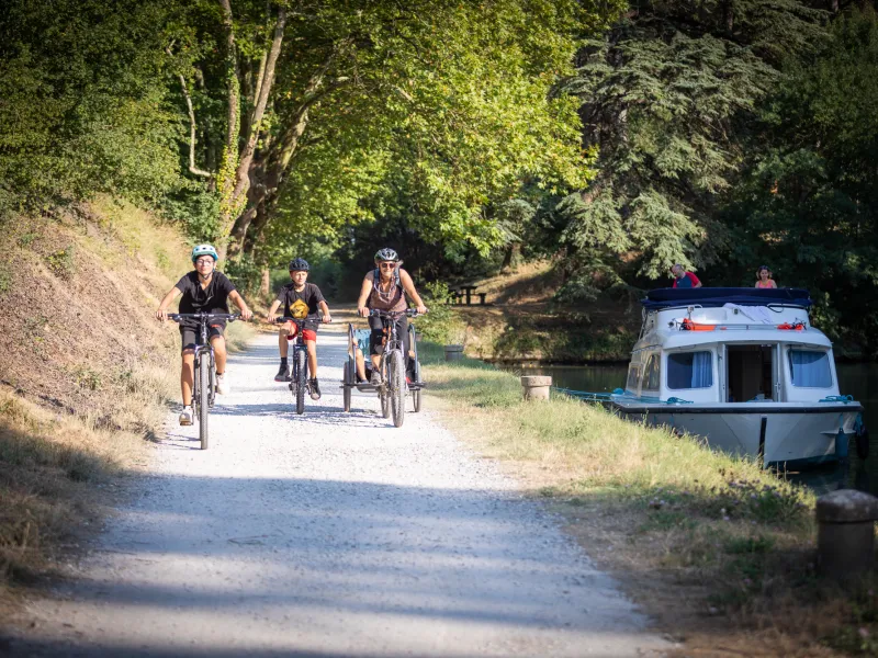
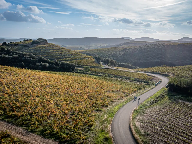
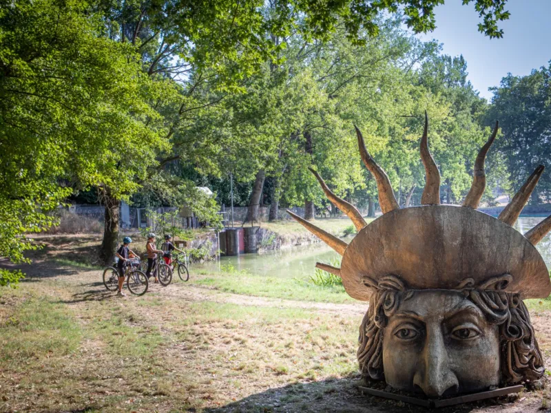
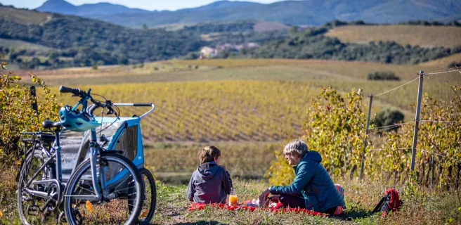
Welcome to La Véloccitanie, a cycle route that encourages you to relish time exploring new and unexpected areas and landscapes in southern France, riding along peacefully and in complete safely. This new route connects the Canal du Midi, the Lauragais area’s farmland, the varied landscapes of the Parc Naturel Régional du Haut-Languedoc (a regional park embracing vineyards, cliffs, forests, prairies and more) and, via La PassaPaïs, the département (or county) of Hérault’s vine-growing plains dotted with reputed wine appellations. In total, the route covers over 220km from Le Seuil de Naurouze to Béziers, along which you can discover a wide variety of natural and cultural heritage sites. It offers cyclists an enchanting outing into the southern French countryside. Be open to the simple pleasures along the way, as the moment takes you. La Véloccitanie proves a cycle route full of little delights!
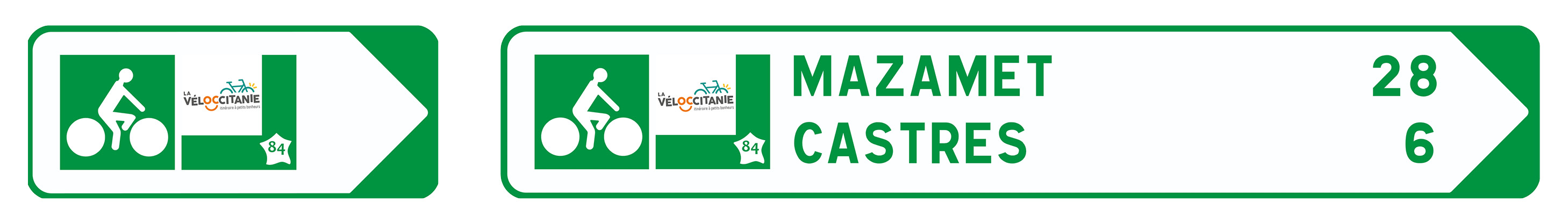
Route signposting
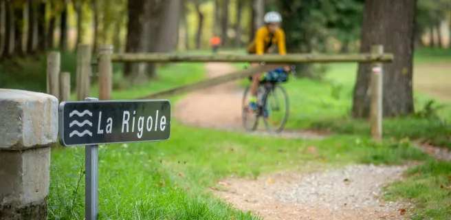
From Seuil de Naurouze to Revel, the route is provisionally signposted with the La Véloccitanie logo as far as Lake Lenclas, then with the sign “voie verte de la Rigole de la Plaine”. From Revel to the nine locks at Fonséranes on the Canal du Midi (Béziers), official La Véloccitanie signposting.
Provisional route between Puimisson (Hérault) and Béziers station (Hérault).
The northern crossing of Béziers is currently in the planning stage. In the meantime, we suggest an alternative route that connects Puimisson to the Canal du Midi, before continuing on to the nine locks at Fonséranes and the centre of Béziers.
Gradients and elevation
Road types
Surface
Trains and transport on the route
Access by train:
- Nearest station to the start (Seuil de Naurouze): Avignonet-Lauragais station, 5 km by bike, or Castelnaudary station (13 km by bike)
- From the finish (Béziers): Béziers station
View infrastructure on the map
Reviews for La Véloccitanie
"Accueil Vélo" accommodation on La Véloccitanie
141 Accueil Vélo accommodations await you on La Véloccitanie!
View accommodations on the map
The best cycling holiday breaks

N’oubliez rien !
Check-list du voyageur
The 6 stages of La Véloccitanie
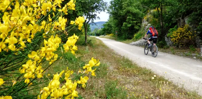
1 Seuil de Naurouze / Revel
2 Revel / Castres
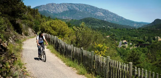
3 Castres / Mazamet
4 Mazamet / Saint-Pons-de-Thomières
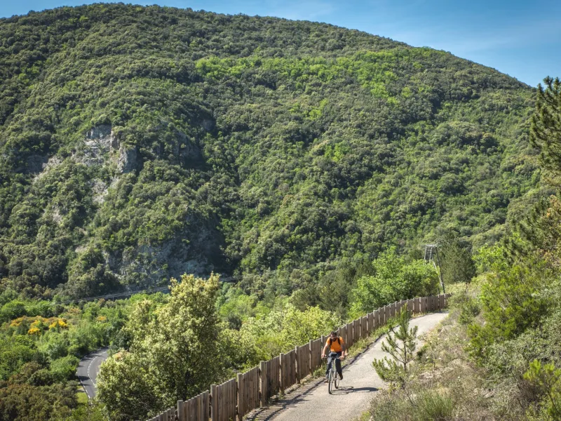
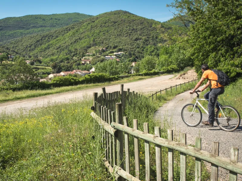
Continue peacefully through the heart of the Thoré Valley, along a stretch of greenway marked by steep meadows, delightful villages and prominent mountains. Thanks to the tunnel under the Col de la Fenille Pass, you shift from Tarn landscapes, with their southwestern French feel marked by the Atlantic’s influence, to Hérault landscapes characteristic of Mediterranean lands.
Towards the end of the stage, in order to appreciate the geological riches of the area, consider exploring the Grotte de la Fileuse de Verre before arriving at Saint-Pons-de-Thomières.
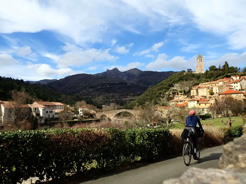
5 Saint-Pons-de-Thomières / Bédarieux
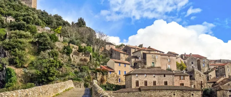
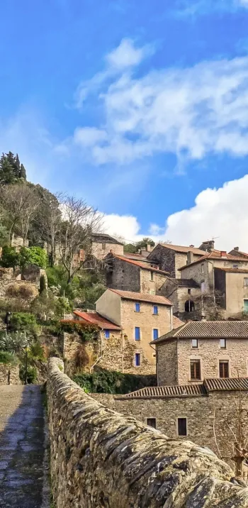
Olargues, a member of the association of Les Plus Beaux Villages de France, rising on its rocky promontory, provides a remarkable stop. Then, from the iron bridge nicknamed the Pont Eiffel, take in the wild valley with its steep bracken moors and array of boulders.
For the most adventurous among you, tackle the detour via the Gorges d’Héric, with a village perched on high and enchanting natural pools to enjoy, along with the splendid views.
After meandering along via many bridges and tunnels, you’ll appreciate the gentle end to this stage, arriving at Bédarieux riding along on the banks of the Orb River.