Grande boucle à vélo de 390 km depuis Béziers
Explorez l'Occitanie à vélo sous ses plus beaux atours, d'une véloroute à une autre : après une échappée sur le Canal du Midi, rythmé par ses ouvrages d'art, sinuez le long de la Rigole de la Plaine, puis pédalez sur PassaPaïs, ancienne voie ferrée à flanc de montagne, avant de découvrir les vignobles du Languedoc.
- Départ : Béziers, Carcassonne
- Distance : 390 kilomètres
- Balisage :
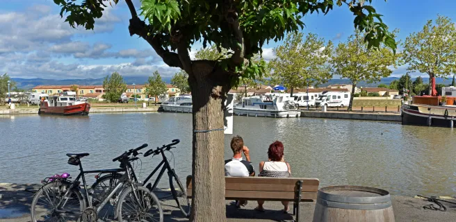
- Le Canal des 2 Mers à vélo : portion sud entre le Seuil de Naurouze et Béziers ("Canal du Midi")
- La Véloccitanie : portion nord entre le Seuil de Naurouze et Béziers

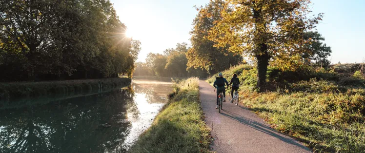
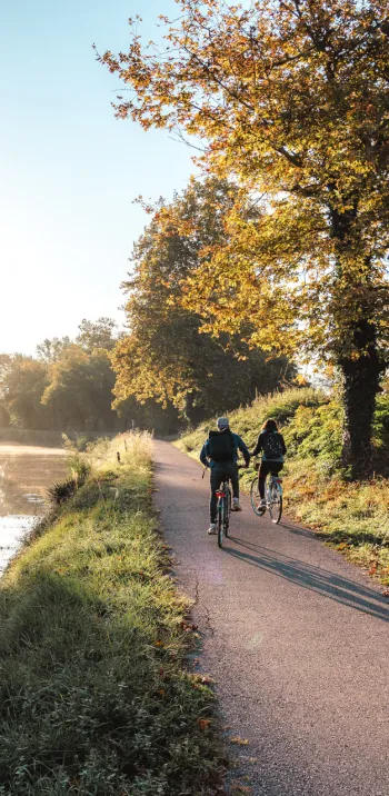
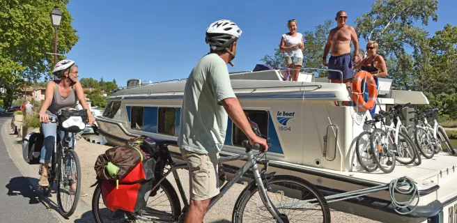
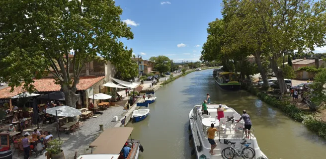
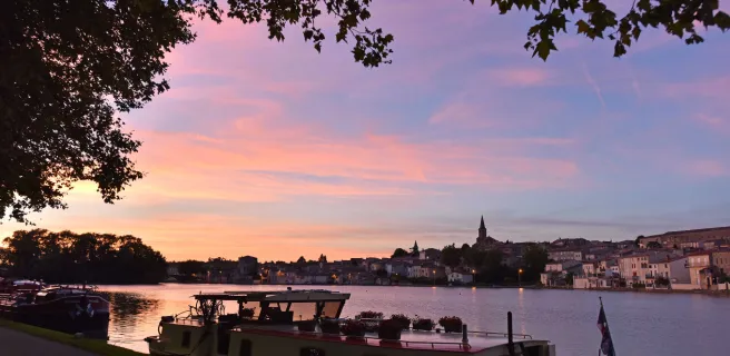
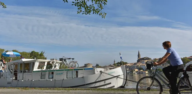
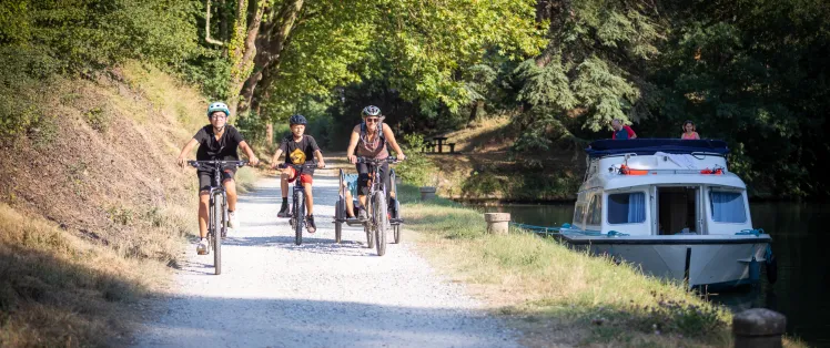
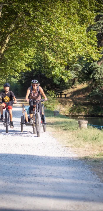
Le long du Canal du Midi, entre écluses et guinguettes
Plongez dans la longue et mythique histoire du Canal du Midi datant du XVIIè siècle. Vous pédalerez au rythme d'innombrables écluses, des petits villages au bord de l'eau et leurs guinguettes, au fil des platanes...

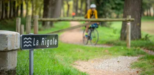
La Rigole de la Plaine
Explorez les origines du canal du Midi à vélo, en suivant les traces de Pierre-Paul Riquet. Admirez les ouvrages hydrauliques historiques qui jalonnent ce parcours de 50 kilomètres. Profitez des ombrages des platanes et des points de vue sur le Lauragais, tout en découvrant l'ingéniosité de Riquet et le génie hydraulique de l'époque. Des haltes rafraîchissantes sont disponibles le long de la Rigole de la Plaine.

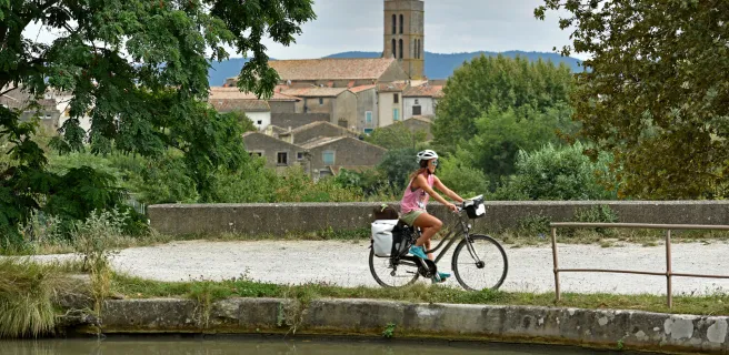
Villages médiévaux, cités de caractères ...
Visitez Mazamet, berceau du textile du 19ème siècle, et Hautpoul via une passerelle saisissante. Olargues, avec son Pont du Diable et ses ruelles médiévales, offre un riche patrimoine. Découvrez Lamalou-les-Bains, ville Belle Époque célèbre pour sa source thermale, son architecture remarquable et son casino historique.

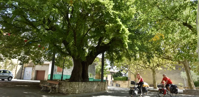
Voie Verte à vélo "PassaPaïs"
Pédalez au cœur du Parc naturel régional du Haut-Languedoc sur une une ancienne voie ferrée : un parcours sécurisé en pleine nature idéal pour débuter, entouré de moyennes montagnes, forêts et garrigues.

Au coeur des vignes
Explorez un territoire au riche patrimoine et vignobles célèbres. Paysages enchanteurs, murets en pierre sèche, et vestiges historiques vous attendent. Découvrez les ruines anciennes à l'Oppidum d'Ensérune et l'étang de Montady, étoilé et asséché. Admirez le génie de Pierre-Paul Riquet avec le Tunnel du Malpas et les neuf écluses de Fonseranes. Terminez à Béziers, entre bâtisses bourgeoises, la cathédrale Saint-Nazaire, et le fameux chameau de Béziers.
Tailor-made itineraries
Tailor-made itineraries
Télécharger le GPX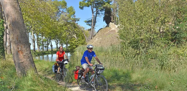
27 Capestang / Béziers
26 Le Somail / Capestang
23 The Canal du Midi by bike : Homps / Le Somail
22 Marseillette / Homps
21 Carcassonne / Marseillette
20 Bram / Carcassonne
19 Castelnaudary / Bram
18 Seuil de Naurouze / Castelnaudary
1 Seuil de Naurouze / Revel
2 Revel / Castres
3 Castres / Mazamet
4 Mazamet / Saint-Pons-de-Thomières
Continue peacefully through the heart of the Thoré Valley, along a stretch of greenway marked by steep meadows, delightful villages and prominent mountains. Thanks to the tunnel under the Col de la Fenille Pass, you shift from Tarn landscapes, with their southwestern French feel marked by the Atlantic’s influence, to Hérault landscapes characteristic of Mediterranean lands.
Towards the end of the stage, in order to appreciate the geological riches of the area, consider exploring the Grotte de la Fileuse de Verre before arriving at Saint-Pons-de-Thomières.
5 Saint-Pons-de-Thomières / Bédarieux
Olargues, a member of the association of Les Plus Beaux Villages de France, rising on its rocky promontory, provides a remarkable stop. Then, from the iron bridge nicknamed the Pont Eiffel, take in the wild valley with its steep bracken moors and array of boulders.
For the most adventurous among you, tackle the detour via the Gorges d’Héric, with a village perched on high and enchanting natural pools to enjoy, along with the splendid views.
After meandering along via many bridges and tunnels, you’ll appreciate the gentle end to this stage, arriving at Bédarieux riding along on the banks of the Orb River.
6 Bédarieux / Béziers
Découvrez également

La Véloccitanie