Une grande aventure de 1 200 km pour rouler au coeur d'une France sauvage et préservée !
De l'Allier au plateau des Millevaches, des volcans d'Auvergne à la vallée du Lot en passant par les causses du Quercy ou le lac de Vassivières, ce Tour des Grands Espaces est une ode à la liberté. Une idée de voyage qui emprunte 6 véloroutes et vous guidera dans des territoires préservés de France : volcans majestueux, vastes espaces sauvages, rivières sinueuses et villages perchés !
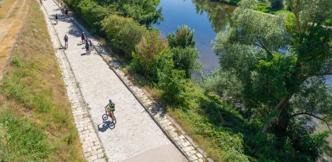
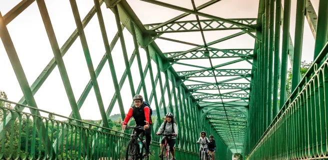
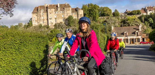
Un tracé principalement sur de petites routes partagées et avec un relief cumulé exigeant qui s'adresse aux voyageurs confirmés en quête d’évasion.
- Départ : Nevers
- Distance : 1185 km
- Dénivelé : 13000 mètres de D+
- Balisage : 100% balisé, emprunte 6 véloroutes
- Via Allier (Nevers - Brassac-les-Mines)
- Grande Traversée du Volcan (Brassac-les-Mines - Flagnac)
- La Vallée du Lot à vélo (Flagnac - Cahors)
- La Vagabonde (Cahors - Chambon-sur-Voueize)
- La Cyclo Bohème (Chambon-sur-Voueize - La Châtre)
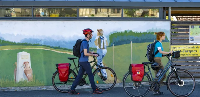
- Saint-Jacques à Vélo - Via Vézelay (La Châtre - Nevers)
- Infos pratiques : voir détails ↓

Explorer les grands espaces
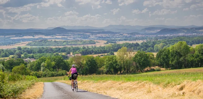
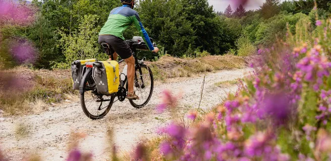
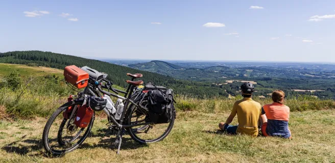
Ce parcours cyclable traverse des paysages à couper le souffle, où la nature règne en maître. Les vastes étendues de ces régions offrent une immersion totale dans un environnement préservé et inspirant, idéal pour les amoureux de grands espaces et de défis sportifs.
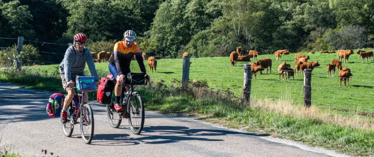
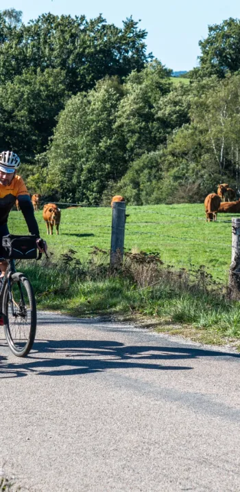
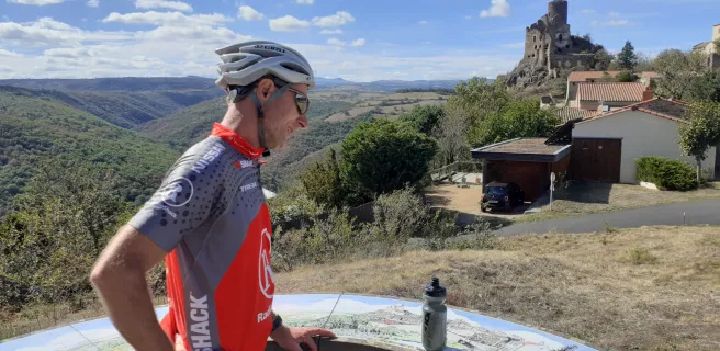
- Les Volcans d'Auvergne : une section spectaculaire d'environ 175 km qui s'étend vers l'ouest de l'Allier et plonge les cyclistes au cœur du Massif central, entre pâturages, forêts profondes et anciens cratères. Les paysages volcaniques uniques témoignent de l’histoire géologique riche et millénaire de la région.
- Causses du Quercy : Ce parc naturel du Lot, classé Géoparc mondial UNESCO, est parsemé de plateaux calcaires, de grottes mystérieuses et de vallées encaissées à explorer.
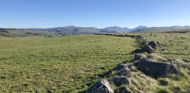
- Plateau des Millevaches : Dans le Limousin, ce plateau granitique séduit par ses vastes landes, ses tourbières et ses forêts paisibles à explorer sur de petites routes tranquilles, bien loin des foules.

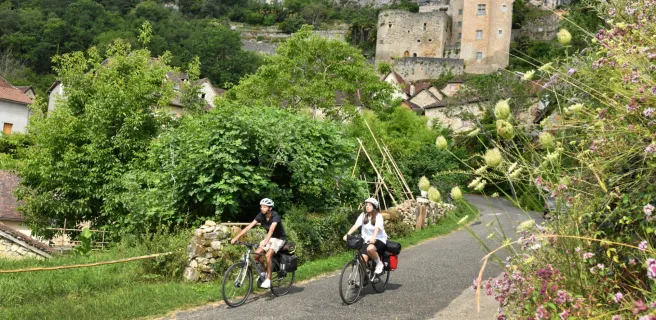
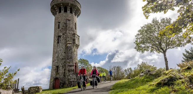
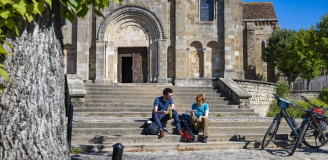
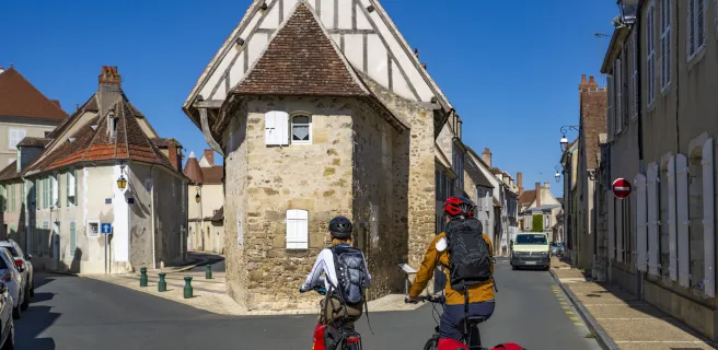
Villes & villages dans des cadres naturels exceptionnels
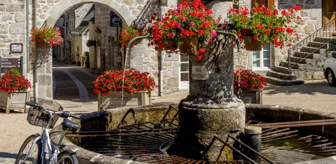
Tour à tour perchés sur des collines, lovés au bord de rivières ou adossés à des falaises, les cités historiques et villages qui jalonnent le tracé invitent à la découverte de la vie locale et d'un riche patrimoine culturel ! La liste serait longue, mais pour ne citer que quelques-uns de ces incontournables :
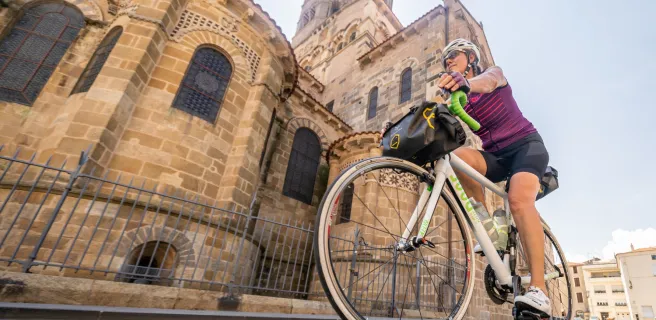
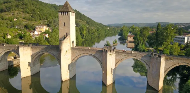
- Cahors : capitale du Quercy nichée dans dans un méandre du Lot, cette ville est célèbre pour son pont Valentré, chef-d'œuvre de l'architecture médiévale, et son centre historique aux ruelles étroites et vivantes.
- Rocamadour : Accroché à une falaise, entre sanctuaires religieux et panoramas spectaculaires, cette cité emblématique constitue une étape incontournable.
- Vézelay : Perché sur une colline, Vézelay est un haut lieu de pèlerinage avec sa basilique Sainte-Marie-Madeleine inscrite au patrimoine mondial de l’UNESCO.
- Sancerre : Ce village viticole, juché en hauteur, offre des vues magnifiques sur les vignobles environnants et des ruelles charmantes idéales pour une promenade.

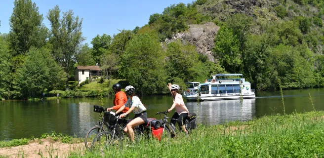
D'une vallée à l'autre
L’eau accompagne les cyclistes tout au long de ce grand tour, que ce soit au fil de rivières sinueuses, au creux de vallées verdoyantes ou au bord de grands lacs :
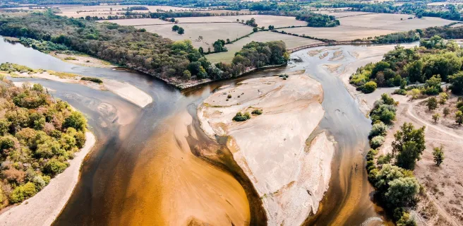
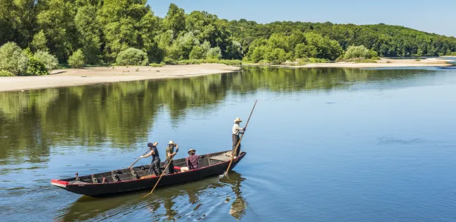
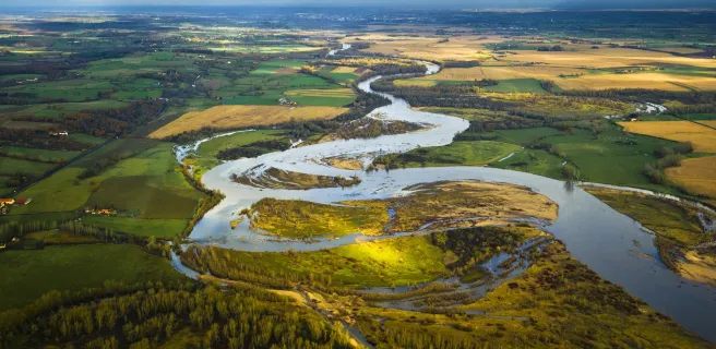
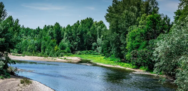
- Allier : sur la section parcourue, cette rivière sauvage, bordée de plages de galets et de falaises, offre un décor paisible et ouvert, précédant ses gorges sauvages débutant davantage au sud.
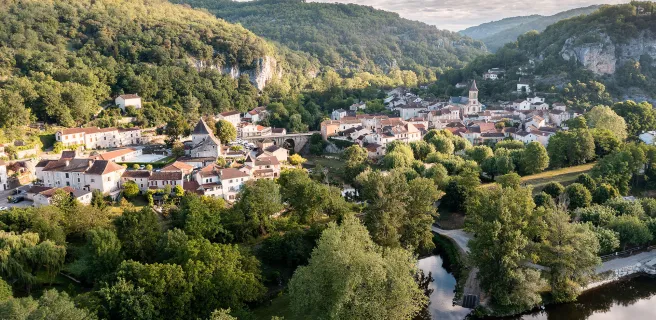
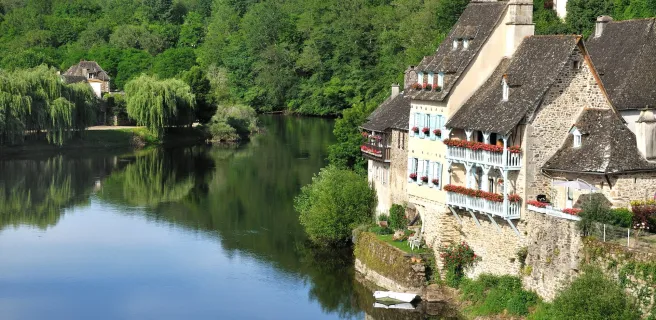
- Méandres du Lot : en traversant cette vallée à vélo, les paysages se succèdent entre falaises, villages accrochés et méandres qui sculptent la terre.
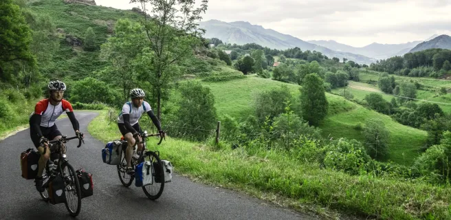
- Vallée de la Dordogne : bordée de châteaux et de villages pittoresques, cette vallée offre un cadre enchanteur. Les berges accueillent les cyclistes avec des panoramas idylliques et des arrêts culturels incontournables.
- Lac de Vassivière : ce vaste lac est une oasis de fraîcheur pour les cyclistes. Entouré de forêts, il invite à la baignade, au pique-nique et à une pause méritée au bord de l’eau !
- Indre : plus paisible, l'Indre serpente à travers une campagne rurale et verdoyante. Les petites routes qui la longent sont parfaites pour une balade à vélo au calme, loin des axes fréquentés.

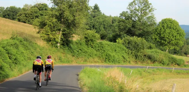
Grimpettes & cols, entre volcans et vallons
Les amateurs de défis seront comblés par les ascensions au programme. Quelques cols et montées exigeantes jalonnent le parcours pour autant de panoramas spectaculaires à la clé :
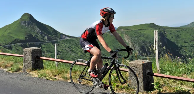
- Cols dans les Volcans d’Auvergne : plusieurs ascensions se dressent sur votre chemin pour traverser ce territoire, notamment le col du Baladour, ou le Pas de Peyrol, plus haut col routier du Massif Central offrant une vue grandiose sur les monts du Cantal !
- Grimpettes sur le Plateau des Millevaches : Les routes vallonnées du plateau offrent des ascensions variées, entourées de paysages sauvages et préservés. Un terrain parfait pour les amateurs de reliefs.
Côté pratique :
🚵 Variante Gravel : entre Moulins et Chalinargues, au lieu d'emprunter la Via Allier, vous pouvez emprunter la Grande Traversée du Massif Central Gravel sur 328 km. Voir le détail de cette section sur le site www.la-gtmc.com.
🚆 Gares sur le parcours : Plusieurs gares sur le parcours, mais peu de (Nevers, Clermont-Ferrand, Cahors).
💡 Hébergements / restaurants / sites de visites : Rendez-vous sur les cartes des étapes ci-dessous pour afficher les différentes catégories de services.
Tailor-made itineraries
Tailor-made itineraries
1 Nevers / Sancoins
2 Sancoins / Le Veurdre
3 Le Veurdre / Moulins
4 Moulins / Saint-Pourçain-sur-Sioule
5 Saint-Pourçain-sur-Sioule / Vichy
6 Vichy / Puy-Guillaume
7 Puy-Guillaume / Pont-du-Château
8 Pont-du-Château / Vic-le-Comte
9 Vic-le-Comte / Issoire
10 Issoire / Brassac-les-Mines
6 Massiac / Sainte-Florine
5 Allanche / Blesle
4 Mandailles-Saint-Julien / Allanche
3 Aurillac / Mandailles-Saint-Julien
2 Maurs / Aurillac
1 Port d'Agrès / Maurs
9 Capdenac-Gare / Flagnac
8 Cajarc / Capdenac-Gare
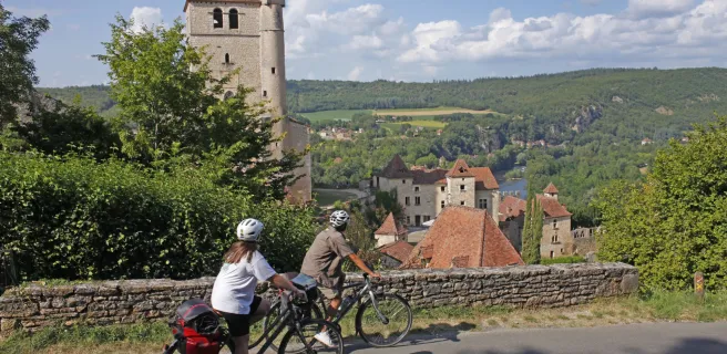
7 Saint-Cirq-Lapopie / Cajarc
6 Cahors / Saint-Cirq-Lapopie
8 Rocamadour / Cahors

7 Beaulieu-sur-Dordogne / Rocamadour
6 Clergoux / Beaulieu-sur-Dordogne
5 Bugeat / Clergoux
4 Royère-de-Vassivière / Bugeat
3 Aubusson / Royère-de-Vassivière

2 Chambon-sur-Voueize / Aubusson
9 Boussac / Chambon-sur-Voueize
8 La Châtre / Boussac
8 Châteaumeillant / La Châtre
7 Saint-Amand-Montrond / Châteaumeillant
6 Sancoins / Saint-Amand-Montrond
1 Nevers / Sancoins
Découvrez également