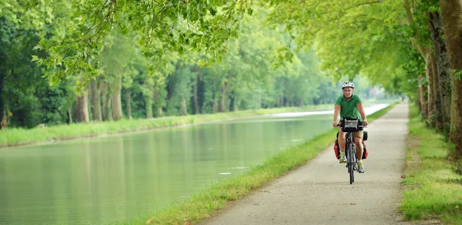
Un grand tour de plus de 4000 km de véloroutes et voies vertes à découvrir
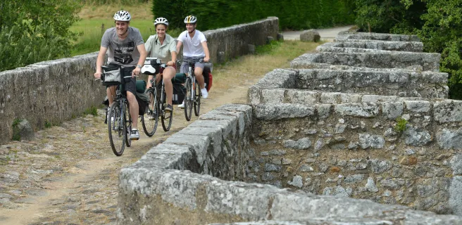
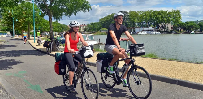
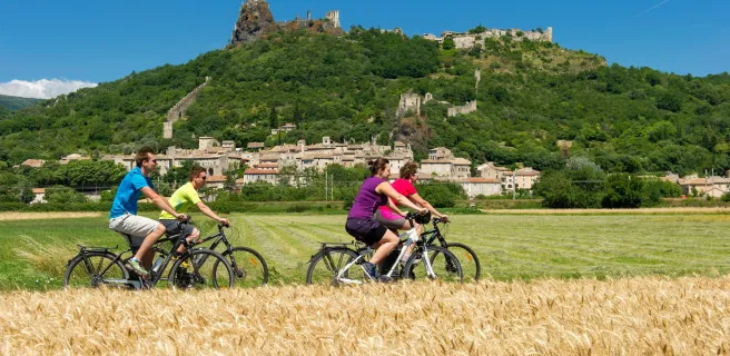
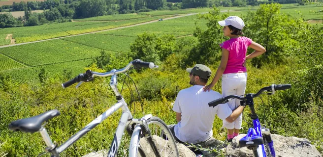
C'est votre tour de faire le Tour de la France à vélo ! Échappez-vous pour une aventure cyclable grandiose grâce au réseau de véloroutes et grands itinéraires cyclables en France.
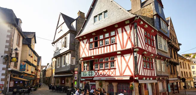
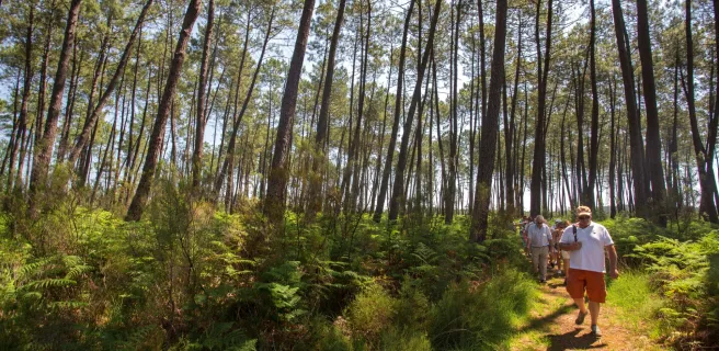
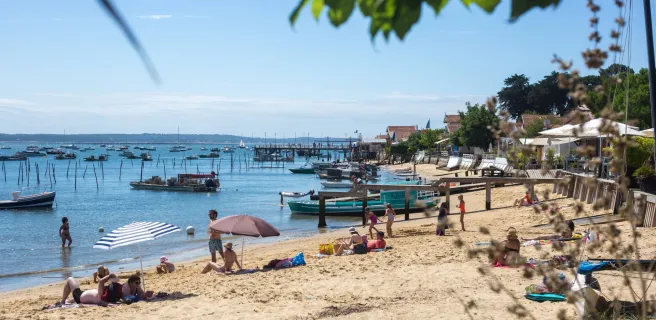
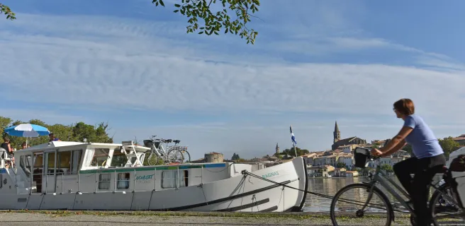
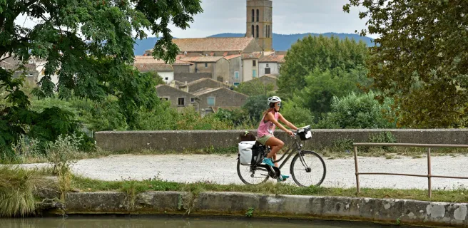
À votre rythme, pédalez le long du littoral atlantique, au cœur de la Bretagne, dans les vignes de Bourgogne ou encore sur le Canal du Midi : ce tour de la France alternatif est l'opportunité de découvrir les innombrables richesses de nos territoires.
- Distance : ~ 4000 kilomètres
- Balisage : itinéraire vélo balisée dans les 2 sens / empruntant 10 grands itinéraires cyclables aménagés
- Détails : certaines portions non aménagées ou hors itinéraire :
- Sur La Vélomaritime : Le Havre <> Honfleur / Deauville <> Cabourg / Grandcamp-Maisy <> Carentan
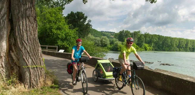
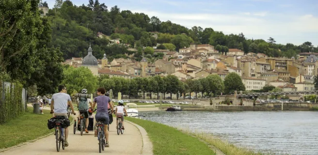
- Lyon <> Mâcon (environ 80 km)
- Migennes <> Paris (environ 170 km) / liaison en TER possible

Le détail de l'itinéraire :
1- 292 km sur l'Avenue Verte London Paris (Paris <> Dieppe)
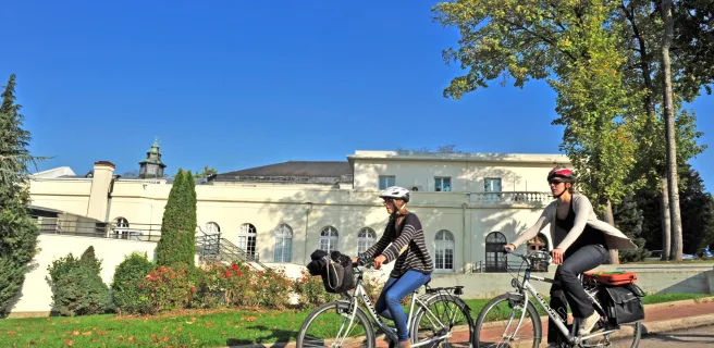
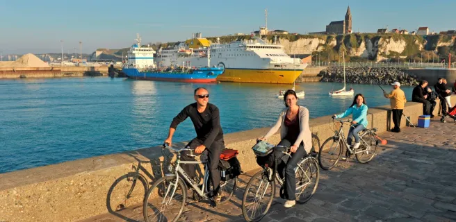
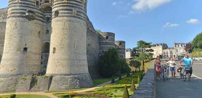
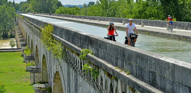
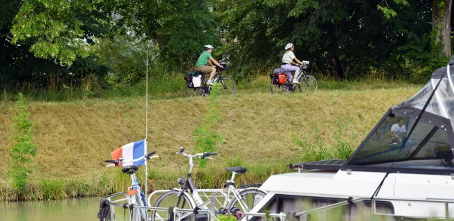
2- 1150 km sur La Vélomaritime (Dieppe <> Roscoff)
3- 650 km sur La Vélodyssée (Roscoff <> Nantes puis La Rochelle <> Biganos)
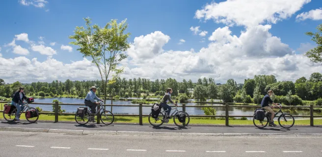
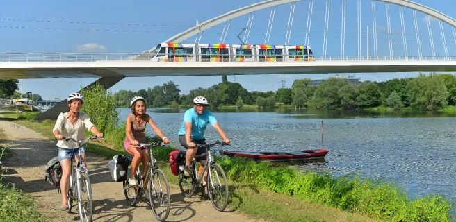
4- 160 km sur La Loire à Vélo (Nantes <> Saumur)
5- 260 km sur La Vélo Francette (Saumur <> La Rochelle)
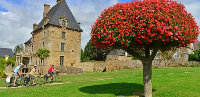
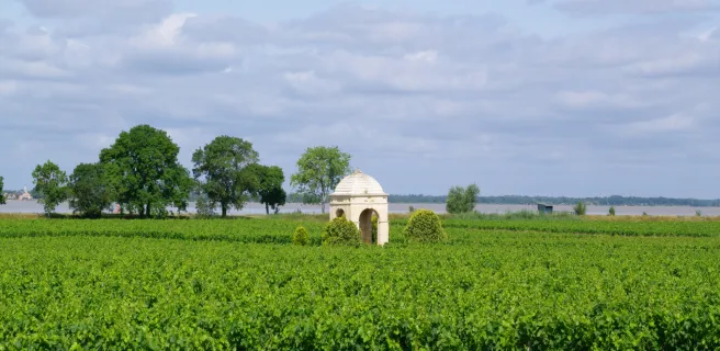
6- 110 km sur Le Tour de Gironde à vélo (Biganos <> La Réole)
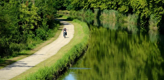
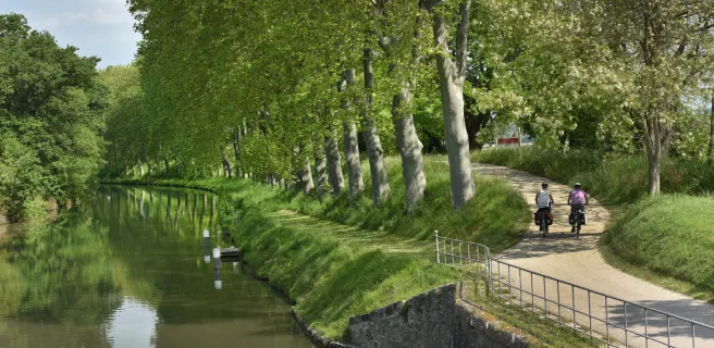
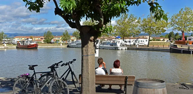
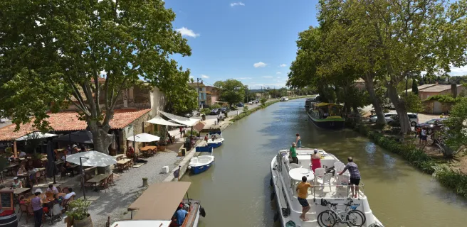
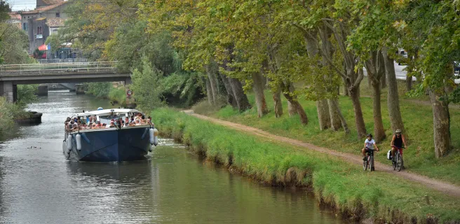
7- 450 km sur le Canal des 2 Mers à vélo (La Réole <> Sète)
8- 130 km sur La Méditerranée à Vélo (Sète <> Beaucaire)
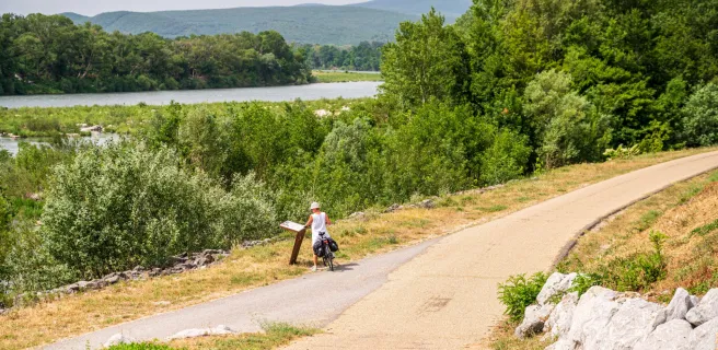
9- 330 km sur ViaRhôna (Beaucaire <> Lyon)
10- 80 km sur La Voie Bleue (Lyon <> Mâcon)
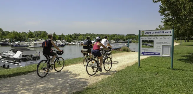
11- 380 km sur La Bourgogne du Sud à vélo / Tour de Bourgogne à vélo (Mâcon <> Migennes)
12- 170 km : liaison Migennes <> Paris non aménagée / balisée (ou train SNCF)
Tailor-made itineraries
Tailor-made itineraries
1 Paris / Maisons-Laffitte
7 Maisons-Laffitte / Auvers-sur-Oise
You can choose between two differents Avenue Verte routes : the Oise Valley via Auvers-sur-Oise, Chantilly…or the Normandy track via Giverny and Gisors.
8 Auvers-sur-Oise / Senlis
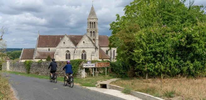
9 Senlis / Pont Ste Maxence
10 Pont Ste Maxence / Agnetz
11 Agnetz / Beauvais
12 Beauvais / St-Germer-de-Fly
The Oise and the Normandy tracks converge to a single main track close the the famous abbey of Saint-Germer-de-Fly.
5 St-Germer-de-Fly / Forges-les-Eaux
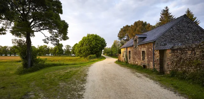
This stage takes you into the Norman section of the historic Pays de Bray region. It was here on the former Dieppe to Paris railway line that the Avenue Verte London-Paris was born. Furthermore the places through which you pass still have reminders of their railway past with the houses of level crossing keepers, old railway stations now put to new uses, signs and marker posts…
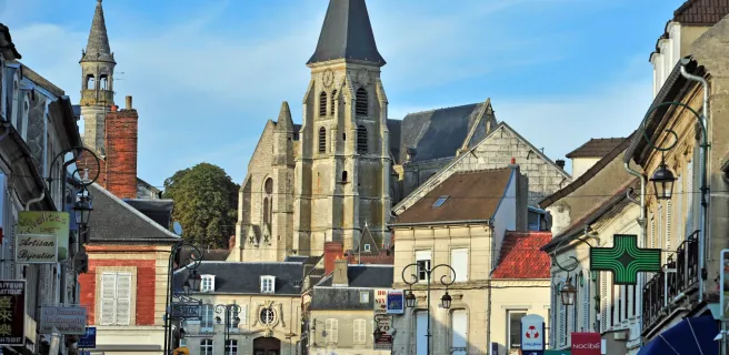
6 Forges-les-Eaux / Dieppe
23 Mortain / St-Hilaire-du-Harcouët
24 St-Hilaire-du-Harcouët / Ducey
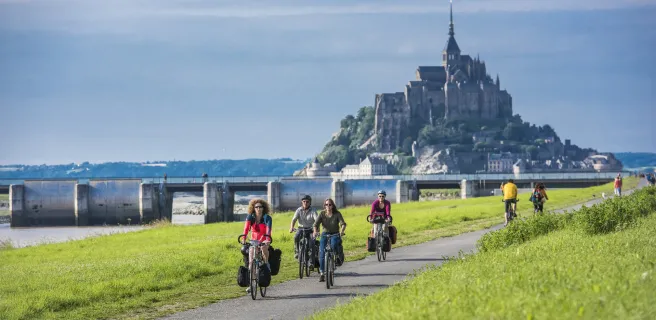
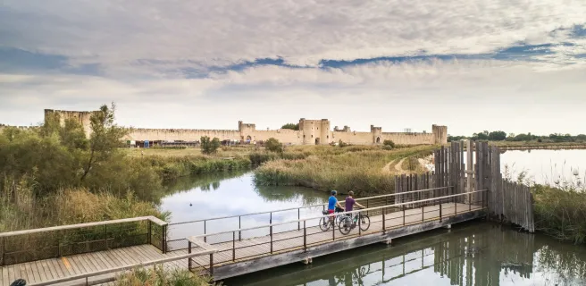
25 Ducey / Mont-Saint-Michel
2 Morlaix / Scrignac

3 Scrignac / Carhaix-Plouguer
1 Carhaix-Plouguer / Rostrenen
4 Rostrenen / Mûr-de-Bretagne
5 Mûr-de-Bretagne / Pontivy
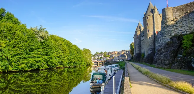
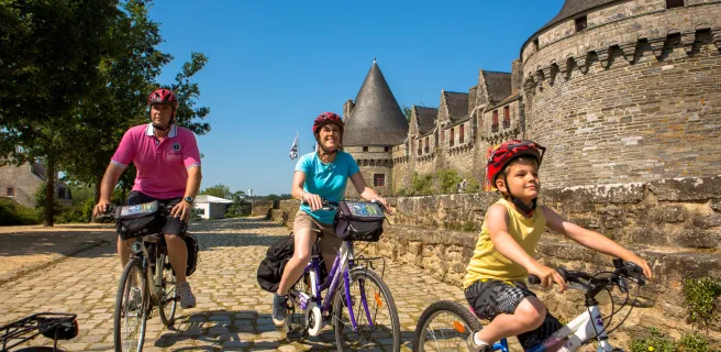
6 Pontivy / Josselin
7 Josselin / Peillac
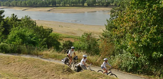
A pretty stage on a designated track of La Vélodyssée through a sinuous valley of the Oust with the foothills of the Landes and Lanvaux as a backdrop. After passing the confluence with the Claie, St Congard and the Guélin Lock provide very welcome breaks.

8 Peillac / Redon
9 Redon / Blain
10 Blain / Nort-sur-Erdre
11 Nort-sur-Erdre / Nantes

34 Mauves-sur-Loire / Nantes
33 Champtoceaux / Mauves-sur-Loire

32 St-Florent-le-Vieil / Champtoceaux
31 Chalonnes-sur-Loire / St-Florent-le-Vieil

30 Bouchemaine / Chalonnes-sur-Loire
29 Angers / Bouchemaine
27 La Daguenière / Angers
26 St-Rémy-la-Varenne / la Daguenière

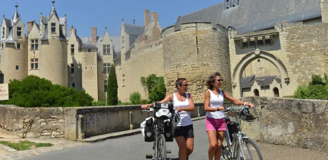
25 Saumur / St-Rémy-la-Varenne

15 Saumur / Montreuil-Bellay
16 Montreuil-Bellay / Thouars
17 Thouars / Airvault
18 La Vélo Francette from Airvault to Parthenay
19 Parthenay / Champdeniers-St-Denis
20 Champdeniers-St-Denis / Niort
21 Niort / Coulon
22 Coulon / Damvix / Bazoin
23 Damvix / Bazoin / Marans
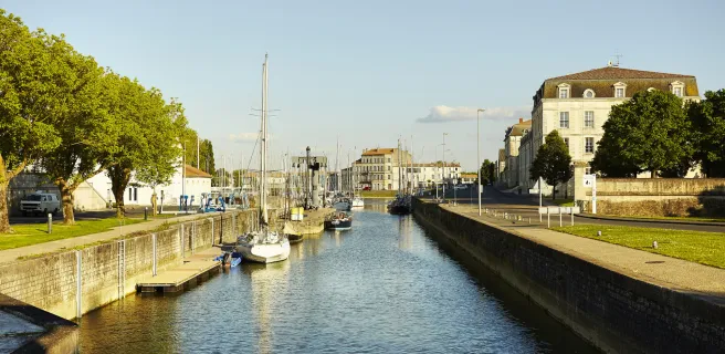
24 Marans / La Rochelle
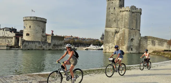
22 La Rochelle / Rochefort
23 Rochefort / Marennes
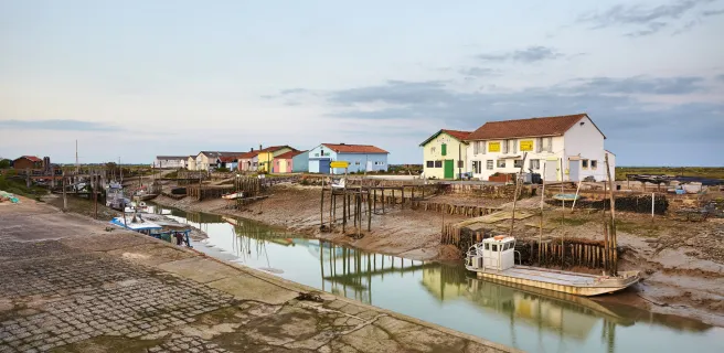
24 Marennes / Royan
25 Royan / Montalivet-les-Bains
26 Montalivet-les-Bains / Hourtin-Plage
27 Hourtin-Plage / Lacanau-Océan
4 La Réole / Bazas
5 Bazas / Saint Symphorien
6 Saint Symphorien / Salles
7 Salles / Andernos
8 La Réole / Marmande
9 Marmande / Damazan
10 Damazan / Agen
11 Agen / Valence d'Agen
12 Valence d'Agen / Moissac
13 Moissac / Castelsarrasin / Montech / Montauban
14 Montech / Castelnau-d'Estrétefonds
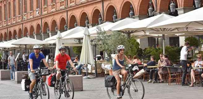
15 Castelnau-d'Estrétefonds / Toulouse
16 Toulouse / Montgiscard
17 Montgiscard / Seuil de Naurouze
18 Seuil de Naurouze / Castelnaudary
19 Castelnaudary / Bram
20 Bram / Carcassonne
21 Carcassonne / Marseillette
22 Marseillette / Homps
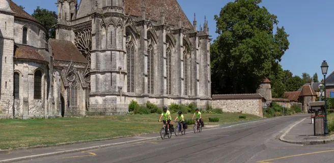
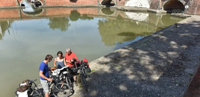
23 The Canal du Midi by bike : Homps / Le Somail
26 Le Somail / Capestang
27 Capestang / Béziers
28 Béziers / Agde
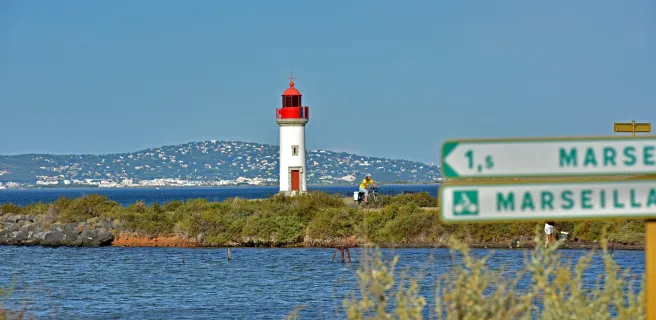
29 Agde / Sète
6 Sète / Le Grau-du-Roi
7 Le Grau-du-Roi / Beaucaire -Tarascon
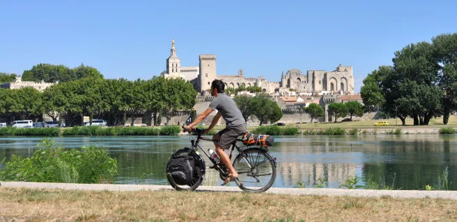
19 Avignon / Beaucaire
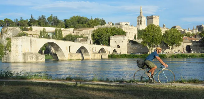
18 Caderousse / Avignon
17 Lapalud / Caderousse
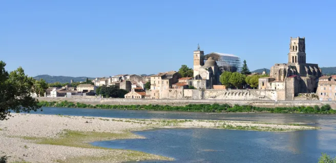
16 Viviers / Bourg-Saint-Andéol / Lapalud
15 Le Pouzin / Cruas / Châteauneuf-du-Rhône / Viviers
14 Valence / La Voulte-sur-Rhône / Le Pouzin
13 Tournon-sur-Rhône / Glun / Valence / La Voulte-sur-Rhône
12 Sablons / Sarras / Tournon-sur-Rhône / Glun
11 Saint-Romain-en-Gal / Vienne / Sablons
10 Lyon / Saint-Romain-en-Gal / Vienne
3 Tournus / Mâcon
2 Châlon-sur-Saône / Tournus
12 Beaune / Santenay

11 Nuits-St-Georges / Beaune

10 Dijon / Nuits-St-Georges

9 La Bussière-sur-Ouche / Dijon

8 Pouilly-en-Auxois / la Bussière-sur-Ouche

7 Pont Royal / Pouilly-en-Auxois

6 Venarey-les-Laumes / Pont Royal

5 Montbard / Venarey-les-Laumes

4 Ancy-le-Franc / Montbard

3 Tonnerre / Ancy-le-Franc

2 St-Florentin / Tonnerre
1 Migennes / St-Florentin
28 Lacanau-Océan / Lège-Cap-Ferret
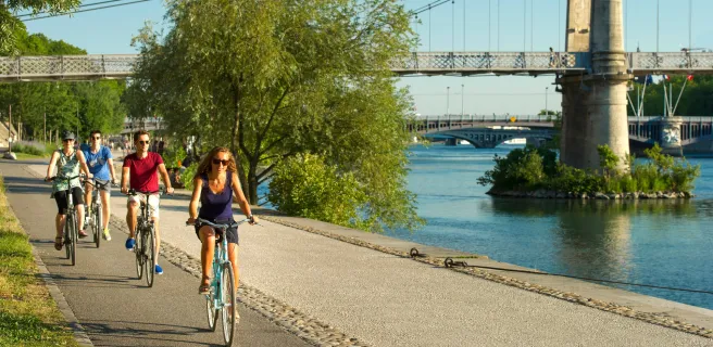
23 Trévoux / Lyon
22 Thoissey / Trévoux